Union Square, San Francisco
Union Square covers 0.2 square miles of San Francisco, and about 4,946 people live here. This page maps 52 parks and public places and 61 businesses inside its lines, most of them Food and Drink.

Living In Union Square
Union Square has about 4,946 people on 0.2 square miles, 19,863 per square mile, denser than San Francisco as a whole (3,582).
The median household earns $66,275 a year, 53% below the city median, #71 of 75 neighborhoods.
89% of homes are rented, and the median rent is $1,835 a month.
It is an older part of town: 81% of homes were built before 1960.
People here skew older, with a median age of 42 against 40 citywide.
38% of workers walk to work, against 9% across San Francisco.
91% of homes have broadband internet.
Inside its lines: 17 landmarks and historic sites, 14 transit stops, 6 colleges, 4 clinics and 25 places to eat.
People
Money And Work
Housing
Getting Around
Connected
US Census Bureau American Community Survey 2020 to 2024, added up from the census tracts in Union Square. Ranks count neighborhoods with 500 or more people.
Parks, Schools And Public Places In Union Square
Landmarks And Historic Sites 17
 Dragon Gate401 Grant Avenue, San Francisco, CA
 Lotta's Fountain
 Sun Yat-sen's statue
- "Comfort Women" Column of Strength
- Admission Day Monument
- Cable Car Turntable (Powell & Market)Powell Street, 94102
- Chinese-American World War Memorial
- Dashiell Hammett Place20 Dashiell Hammett Street, San Francisco
- George Perine House535 Powell Street, San Francisco, CA 94108
- Leidesdorff commemorative plaque
- Liberty Bell Slot Machine
- Mechanics Monument
5 more on the map below
Transit Stops 14
 Embarcadero
- California Street & Battery Street
- California Street & Davis Street
- California Street & Front Street
- California Street & Kearny Street
- California Street & Montgomery Street
- California Street & Sansome Street
- Market Street & 2nd Street
- Market Street & Battery Street
- Market Street & New Montgomery Street
- Powell Street & Bush Street
- Powell Street & Market Street
2 more on the map below
Colleges 6
- Academy of Art University
- Academy of Art University
- Academy of Art University
- Cogswell College
- Fashion Institute of Design and Merchandising - San Francisco
- University of Phoenix
Clinics 4
- Concentra Urgent Care
- LaserAway355 Sutter Street, San Francisco, CA
- One Medical110 Sutter Street, 94104
- Passport Health Downtown San Francisco Travel Clinic47 Kearny Street #701, San Francisco, CA 94108
Arts Centers 2
- Goethe Institut
- King's and Co.
Schools 2
- Notre Dame Des Victoires Grammar School
- Notre Dame Des Victoires School
Farmers Markets 1
- Mellow Mercado332 Pine Street
Libraries 1
- Mechanics' Institute Library and Chess Room57 Post Street, San Francisco, CA 94104
Places Of Worship 1
 Notre Dame Des Victoires Church566 Bush Street, San Francisco, CA 94108
Playgrounds 1
- St. Mary's Square Playground
Post Offices 1
- Sutter Street Post Office150 Sutter Street, San Francisco, CA 94104
Places To Go In Union Square
The most reviewed spots inside these lines, with photos where they have one.
Top Attractions And Things To Do
Parks, Beaches, Museums And Landmarks
Where To Eat
 John's GrillRestaurant in Union Square4.4 stars, 4,870 reviews
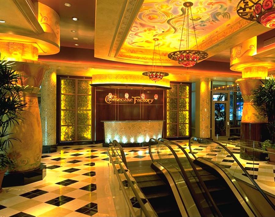 The Cheesecake FactoryAmerican restaurant in Union Square3.8 stars, 4,752 reviews
 Tadich GrillSeafood restaurant in Union Square4.5 stars, 3,209 reviews
 Wayfare TavernAmerican restaurant in Union Square4.5 stars, 3,093 reviews
 Tad's SteakhouseRestaurant in Union Square4.1 stars, 2,650 reviews
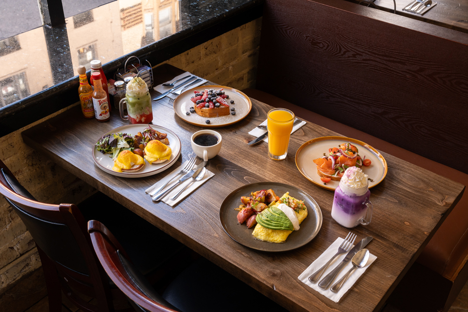 Roxanne CafeAmerican restaurant in Union Square4.3 stars, 2,071 reviews
Bars And Nightlife
Businesses In Union Square
Is yours missing or wrong? List or fix it free.
Food and Drink 25
- John's GrillRestaurant
- The Cheesecake FactoryAmerican restaurant
- Tadich GrillSeafood restaurant
- Wayfare TavernAmerican restaurant
- Tad's SteakhouseRestaurant
- Roxanne CafeAmerican restaurant
Toy SoldierAmerican restaurant
 PABU IzakayaRestaurant
 King of Thai Noodle HouseThai restaurant
 E&O Kitchen and BarAsian restaurant
15 more on the map below
Lodging 11
 Beacon Grand A Union Square HotelHotel
 Omni San Francisco HotelHotel
 The Ritz-Carlton, San FranciscoHotel
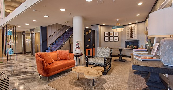 Hotel Triton Union Square San FranciscoHotel
 Executive Hotel Vintage Court San FranciscoHotel
 Galleria Park HotelHotel
- Grand Hyatt San FranciscoResort hotel
- InterContinental Mark Hopkins San Francisco by IHGHotel
- Stanford Court San FranciscoHotel
- San Francisco Marriott Union SquareHotel
1 more on the map below
Bars and Nightlife 5
 The Irish BankIrish pub
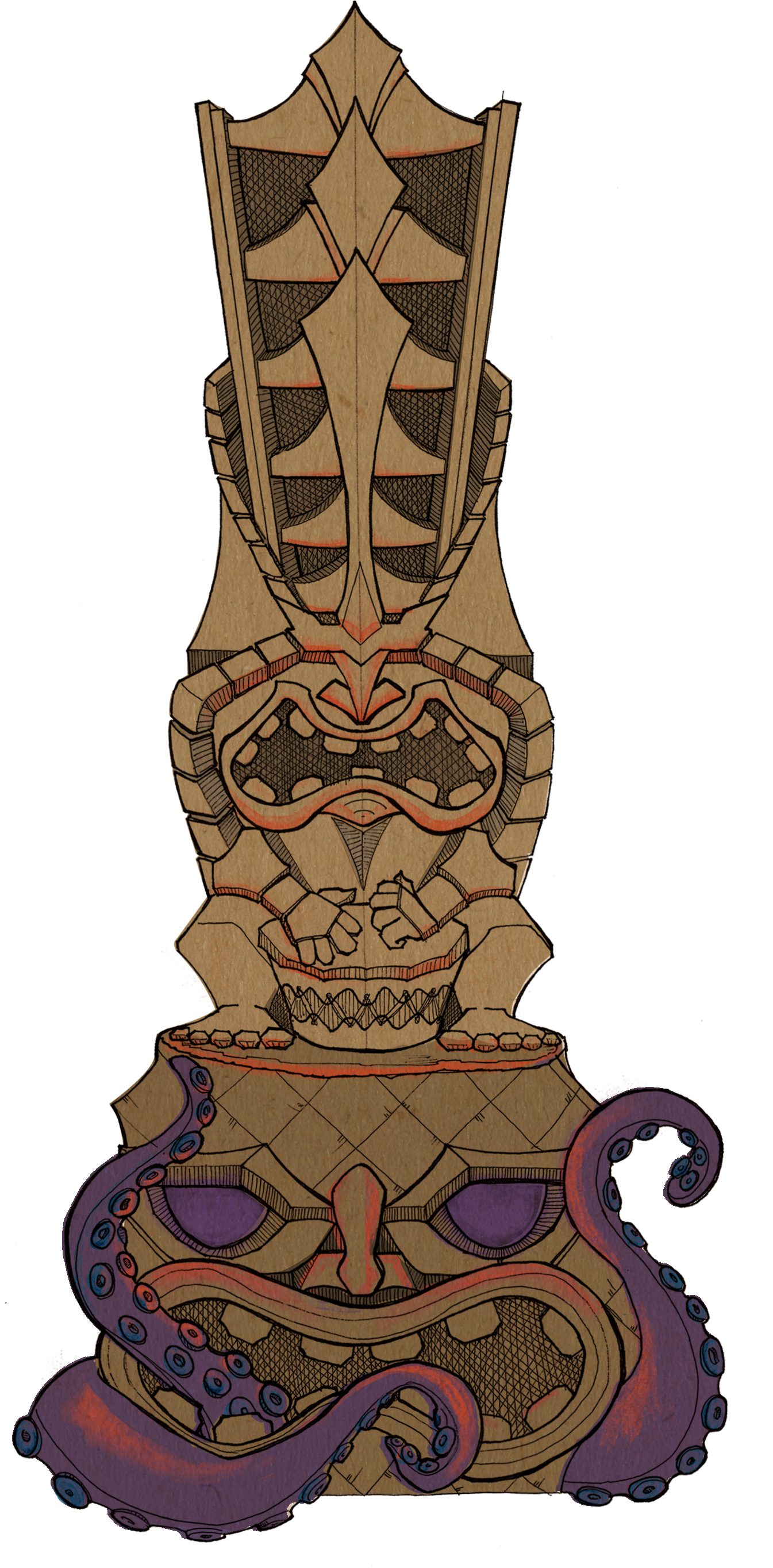 Pagan IdolCocktail bar
 Last Drop TavernBar & grill
 RickhouseBar
- Top of the MarkBar
Shopping 4
 Suitsupply San FranciscoMen's clothing store
- Macy'sDepartment store
- Nike San FranciscoSportswear store
- Yadav Diamonds & JewelryJewelry store
Professional Services 3
 KapwingVideo editing service
 Happen BankCorporate office
 James Flood BuildingBusiness center
Entertainment and Arts 2
The Escape Game San Francisco (Downtown)Escape room center
 Union SquareHistorical landmark
Auto 2
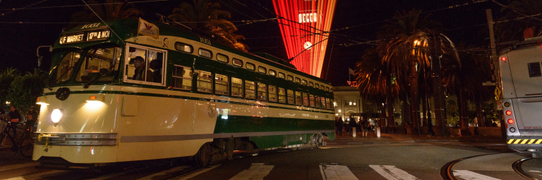 Powell St & Market StCable car station
- TuroCar rental agency
Health and Medical 2
 David J MacGregor MDDermatologist
 SimonMed Imaging - San Francisco Sacramento St SFAMIMedical diagnostic imaging center
Travel and Transportation 2
- Free SF TourSightseeing tour agency
- Smart Carship LLCTransportation service
Finance and Insurance 1
 Upgrade, Inc.Loan agency
Tech and Repair 1
 Apple Union SquareElectronics store
Government and Public Services 1
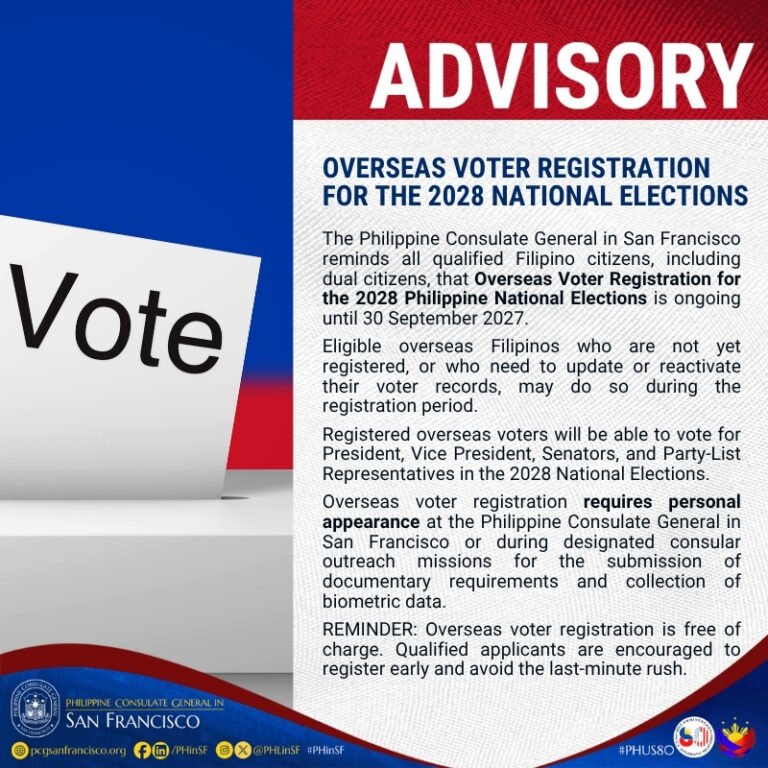 Philippine Consulate General in San FranciscoForeign consulate
Legal 1
 KPB Immigration Law FirmImmigration Lawyer
Beauty and Personal Care 1
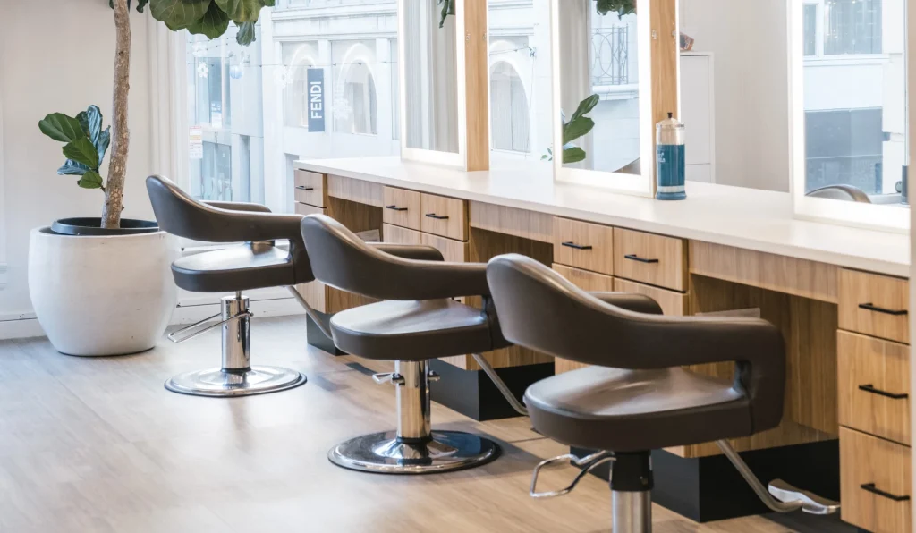 Blake Charles SalonHair salon
Own A Business In San Francisco
List it free on your neighborhood page in about two minutes. Townstoop is built by Clickflame, building local business sites since 2004.
Union Square Questions
How many people live in Union Square
About 4,946, from the Census American Community Survey tracts inside the Union Square lines.
What parks are in Union Square
2 mapped, including Saint Mary's Square, Union Square.
How many schools are in Union Square
2 schools are mapped inside the neighborhood.
What is the rent like in Union Square
The Census median gross rent is $1,835 a month, against $2,476 for all of San Francisco.
Do people rent or own in Union Square
89% of homes are rented and 11% are owned, against 62% rented across San Francisco.
How do people get to work from Union Square
The average commute is 23 minutes. 15% drive alone, 13% take transit, 38% walk and 29% work from home.
How old are the homes in Union Square
81% were built before 1960 and 0% in 2010 or later. 1% are single family homes.
Is Union Square a family neighborhood
10% of households have children and 8% of residents are under 18. 17% are 65 or older.
Sources, Census figures from the US Census Bureau American Community Survey five year estimates, parks, schools and public places from OpenStreetMap contributors (ODbL). How we build these pages.