Castro District, San Francisco
Castro District covers 0.6 square miles of San Francisco, and about 15,636 people live here. This page maps 43 parks and public places and 10 businesses inside its lines, most of them Food and Drink.

Living In Castro District
Castro District has about 15,636 people on 0.6 square miles, 24,701 per square mile, denser than San Francisco as a whole (3,582).
The median household earns $223,780 a year, 59% above the city median, #3 of 75 neighborhoods.
53% of homes are rented, and the median rent is $2,823 a month.
It is an older part of town: 81% of homes were built before 1960.
People here skew older, with a median age of 45 against 40 citywide.
42% of workers work from home, against 31% across San Francisco.
97% of homes have broadband internet.
Inside its lines: 9 parks, 5 landmarks and historic sites, 5 schools, 5 transit stops and 6 places to eat.
People
Money And Work
Housing
Getting Around
Connected
US Census Bureau American Community Survey 2020 to 2024, added up from the census tracts in Castro District. Ranks count neighborhoods with 500 or more people.
Parks, Schools And Public Places In Castro District
Parks 9
 Corona Heights Park
 Harvey Milk Plaza
 Mission Dolores Park
 Pink Triangle Memorial
- Al's Park
- Community Park
- Corbett Slope Community Park
- Eureka Valley Recreation Center
- States Street (Corona Heights) Community Garden
Landmarks And Historic Sites 5
- Circle of Peace
- Gilbert Baker Memorial Rainbow Flag400 Castro Street
- Mexico's Liberty Bell
- Pride Barbie Doll Display in private windows
- The Blue House
Schools 5
- German International School of Silicon Valley San Francisco
- Harvey Milk Civil Rights Academy
- McKinley Elementary School
- Mission High School3750 18th Street, San Francisco, CA 94114
- Rooftop Alternative Elementary School - Mayeda Campus
Transit Stops 5
 Castro
- 17th Street & Castro Street
- Church Street & 18th Street
- Right of Way & 20th Street
- Right of Way & Liberty Street
Playgrounds 4
- Eureka Valley Playground
- Helen Diller Playground
- Peixotto Playground
- States Playground
Clinics 3
- AHF Healthcare Center518A Castro Street
- Magnet4122 18th Street, 94114
- Strut470 Castro Street
Places Of Worship 3
- Dolores Park Church455 Dorland Street, San Francisco
- First Covenant Church469;475;479 Dolores Street
- Most Holy Redeemer Roman Catholic Church110 Diamond Street
Museums 2
 GLBT History Museum4127 18th Street, San Francisco, CA 94114
- Randall Museum199 Museum Way, San Francisco, CA
Post Offices 2
- 18th Street Station4304 18th Street, San Francisco, CA 94114
- PO Plus584 Castro Street, 94114
Sports Fields 2
- Eureka Valley Rec Center Rikki Streicher Field
- Mission Dolores Park
Community Centers 1
Dog Parks 1
Theaters 1
- Theatre Rhinoceros
Places To Go In Castro District
The most reviewed spots inside these lines, with photos where they have one.
Top Attractions And Things To Do
Parks, Beaches, Museums And Landmarks
Where To Eat
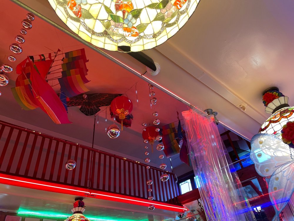 Orphan Andy's RestaurantDiner in Castro District4.5 stars, 2,514 reviews
 Le Marais BakeryFrench restaurant in Castro District4.3 stars, 1,141 reviews
 FableAmerican restaurant in Castro District4.4 stars, 1,111 reviews
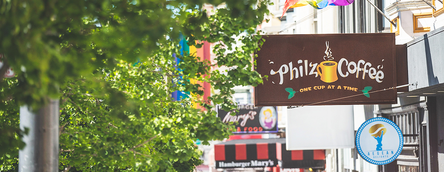 Philz CoffeeCoffee shop in Castro District4.5 stars, 1,039 reviews
 Mama Ji'sChinese restaurant in Castro District4.4 stars, 966 reviews
Businesses In Castro District
Is yours missing or wrong? List or fix it free.
Food and Drink 6
- Orphan Andy's RestaurantDiner
- Le Marais BakeryFrench restaurant
- Philz CoffeeCoffee shop
- Anchor Oyster BarSeafood restaurant
Parks and Recreation 2
Entertainment and Arts 1
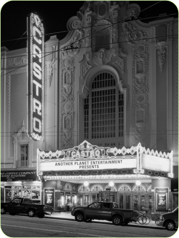 The Castro TheatreMovie theater
Shopping 1
 Cliff's VarietyVariety store
Own A Business In San Francisco
List it free on your neighborhood page in about two minutes. Townstoop is built by Clickflame, building local business sites since 2004.
Castro District Questions
How many people live in Castro District
About 15,636, from the Census American Community Survey tracts inside the Castro District lines.
What parks are in Castro District
9 mapped, including Al's Park, Community Park, Corbett Slope Community Park, Corona Heights Park.
How many schools are in Castro District
5 schools are mapped inside the neighborhood.
What is the rent like in Castro District
The Census median gross rent is $2,823 a month, against $2,476 for all of San Francisco.
Do people rent or own in Castro District
53% of homes are rented and 47% are owned, against 62% rented across San Francisco.
How do people get to work from Castro District
The average commute is 35 minutes. 20% drive alone, 21% take transit, 5% walk and 42% work from home.
How old are the homes in Castro District
81% were built before 1960 and 3% in 2010 or later. 27% are single family homes.
Is Castro District a family neighborhood
13% of households have children and 10% of residents are under 18. 16% are 65 or older.
Sources, Census figures from the US Census Bureau American Community Survey five year estimates, parks, schools and public places from OpenStreetMap contributors (ODbL). How we build these pages.